


Street View in Vieques e Culebra (PR)
November 2023
Discover Porto Rico for Miles and Partnership
Street View of all the roads of both islands of Vieques and Culebra
T
The Street View is becoming, across the years, even more important, and overall when we are talking about a tourist destination, this service is become crucial!
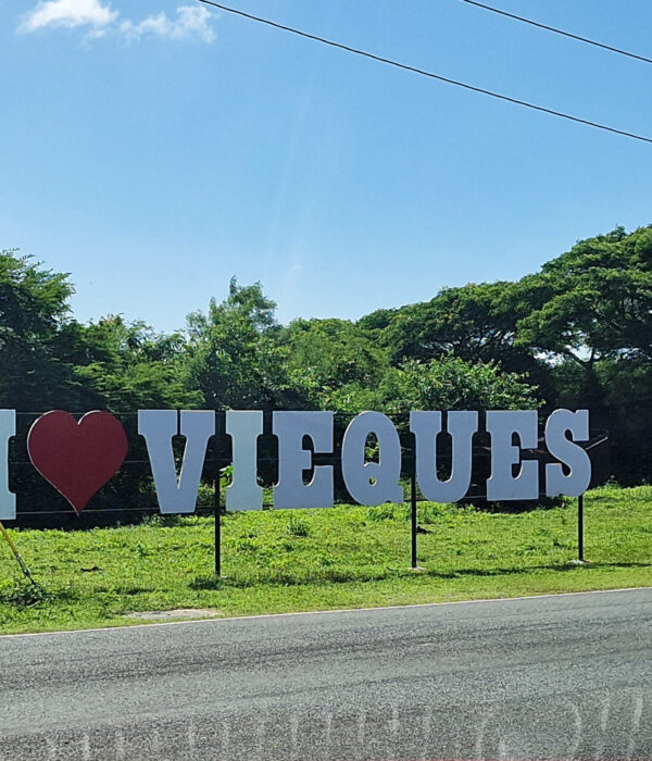
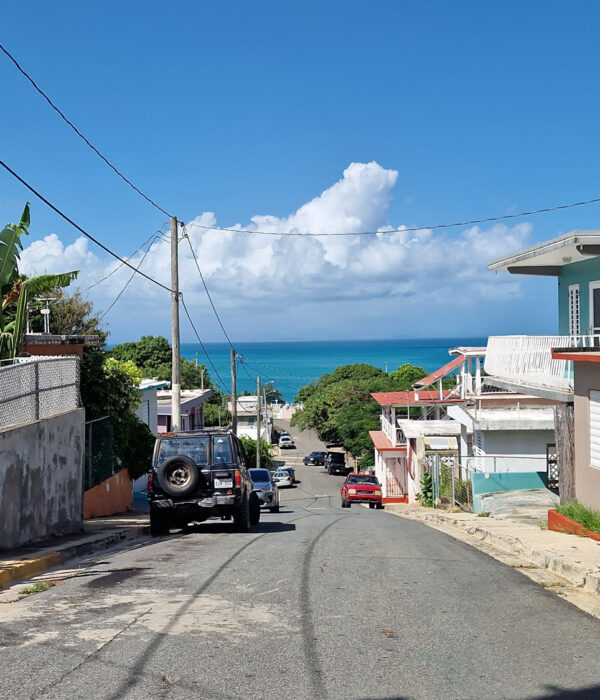
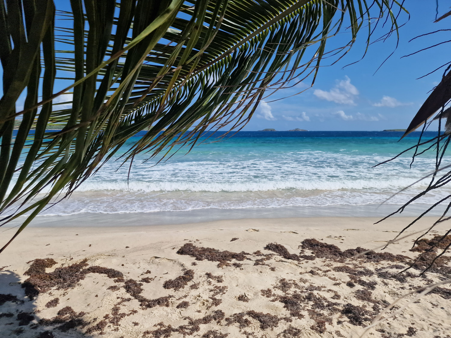
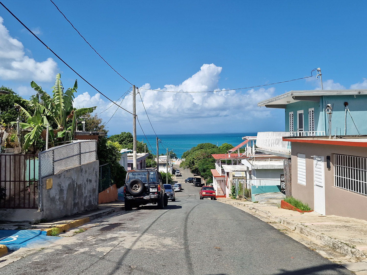
Culebra and Vieques are the two small islands east of Puerto Rico, less famous than “Isla Grande”, the largest of the islands in the Puerto Rico archipelago and mistakenly called the name of the entire archipelago.
Apart from the lesser fame, until a few days ago, the two small islands, unlike Isla Grande, above all lacked Street View.
For this reason Discover Puerto Rico, the local DMO (Destination Marketing Organization) through Miles and Partnership, our historic partner, contacted us to map and report the two islands on Google Maps.
Furthermore, we were asked to create a virtual tour for some items of both external and internal interest, to add to the global virtual tour of the archipelago that we created last year.
How We Solve This Project
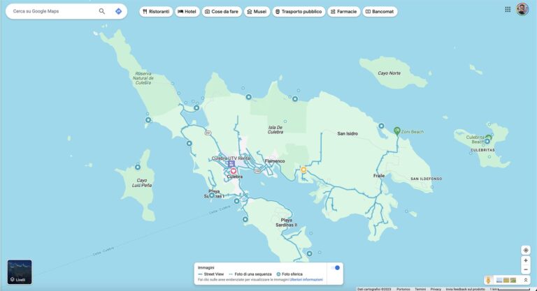
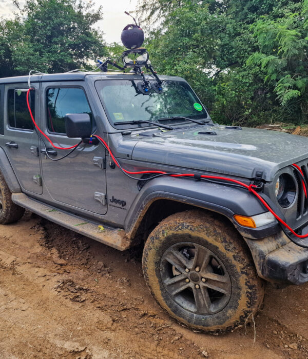
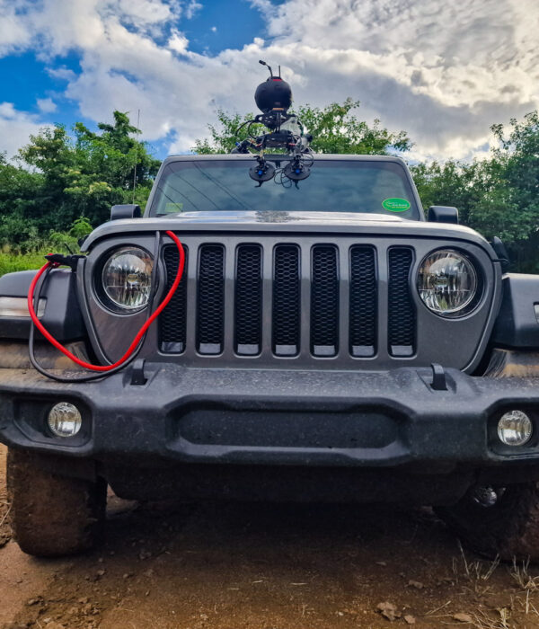
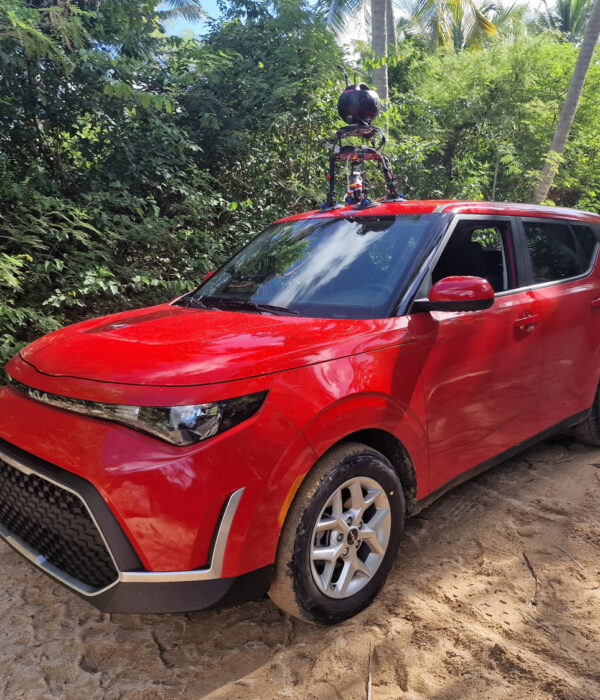
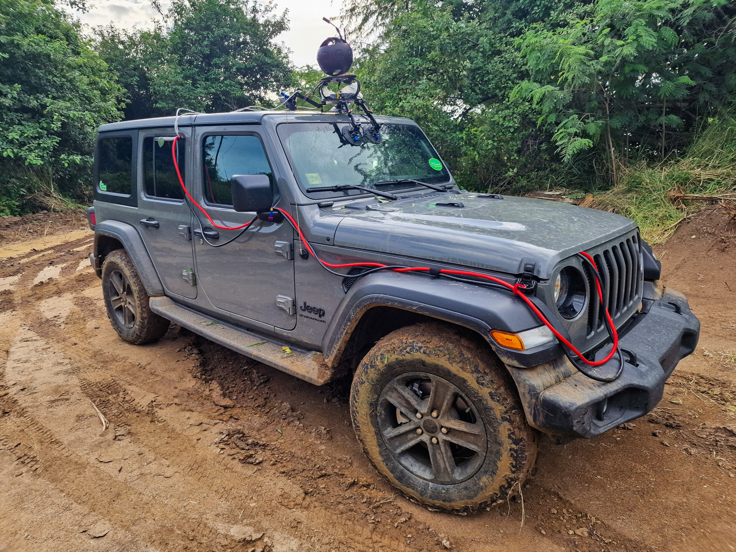
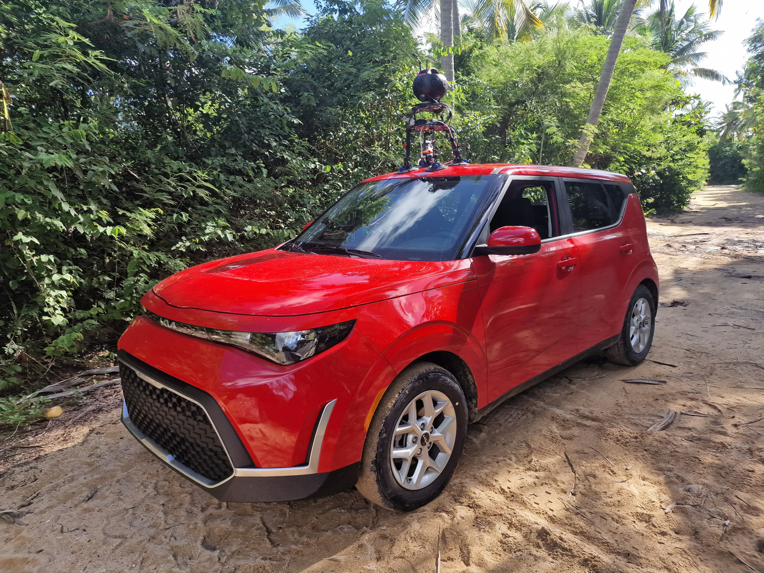
We created a team of 2 people so that we could deal with the roads and points of interest in parallel, starting from the mapping of Culebra, the smaller of the two, for about 70 km, and then moving on to Vieques with its 400 km of roads, unfortunately not entirely accessible.
In less than 2 weeks, we managed to completely map the two islands, with the world-best 11K. high resolution technology, edit the captured files, and upload them to both Google Maps and Mapillary.
Project keypoints
Planning
Team and equipment selection
On field mapping
Upload, check and delivery
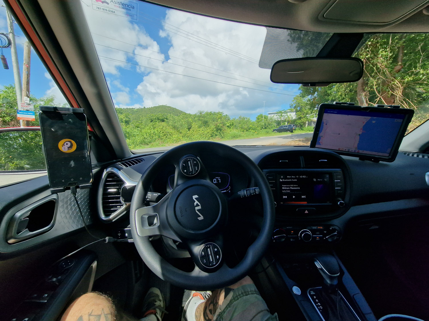
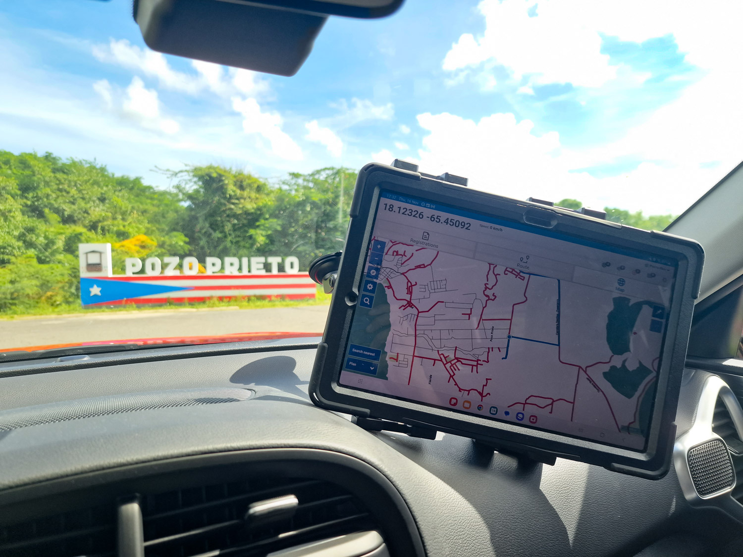
Autori App, a game changer for those kind of projects!
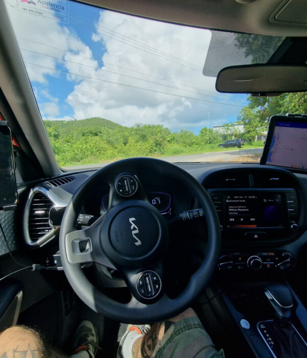
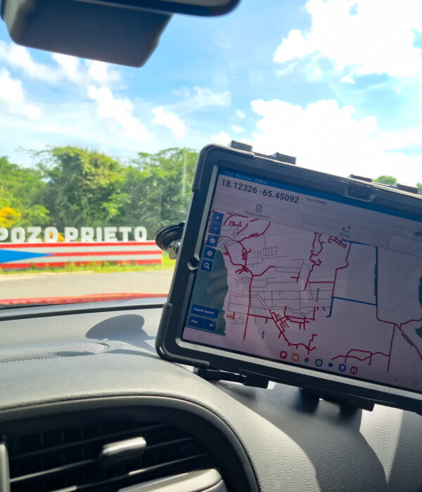
This time, for the second time on an extended mapping project, after the Sao Tomè one, we have actively adopted the Autori Navigation App as a planner for our mapping mission and was again a game changer!
The simplicity of use, the practicality of the controls, and above all practically real-time assistance (which is fundamental on fixed-term jobs) meant that the capture took place in a fluid and continuous manner, and was constantly monitored by the WTi360 team in Europe.
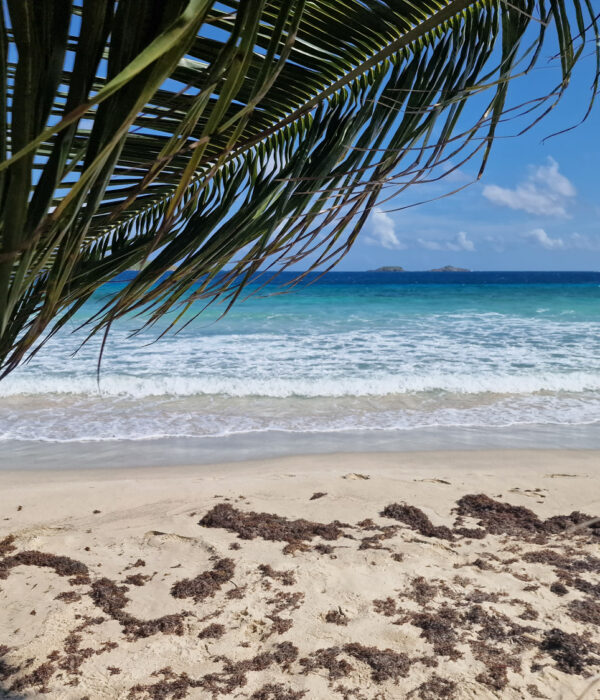
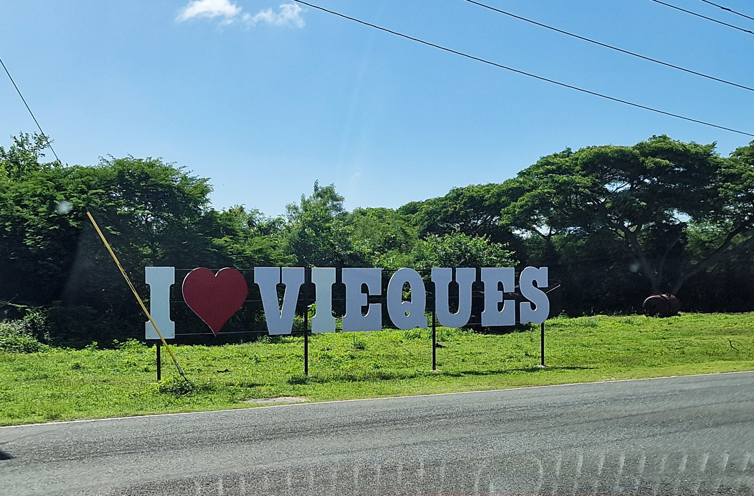
Vieques (PR)
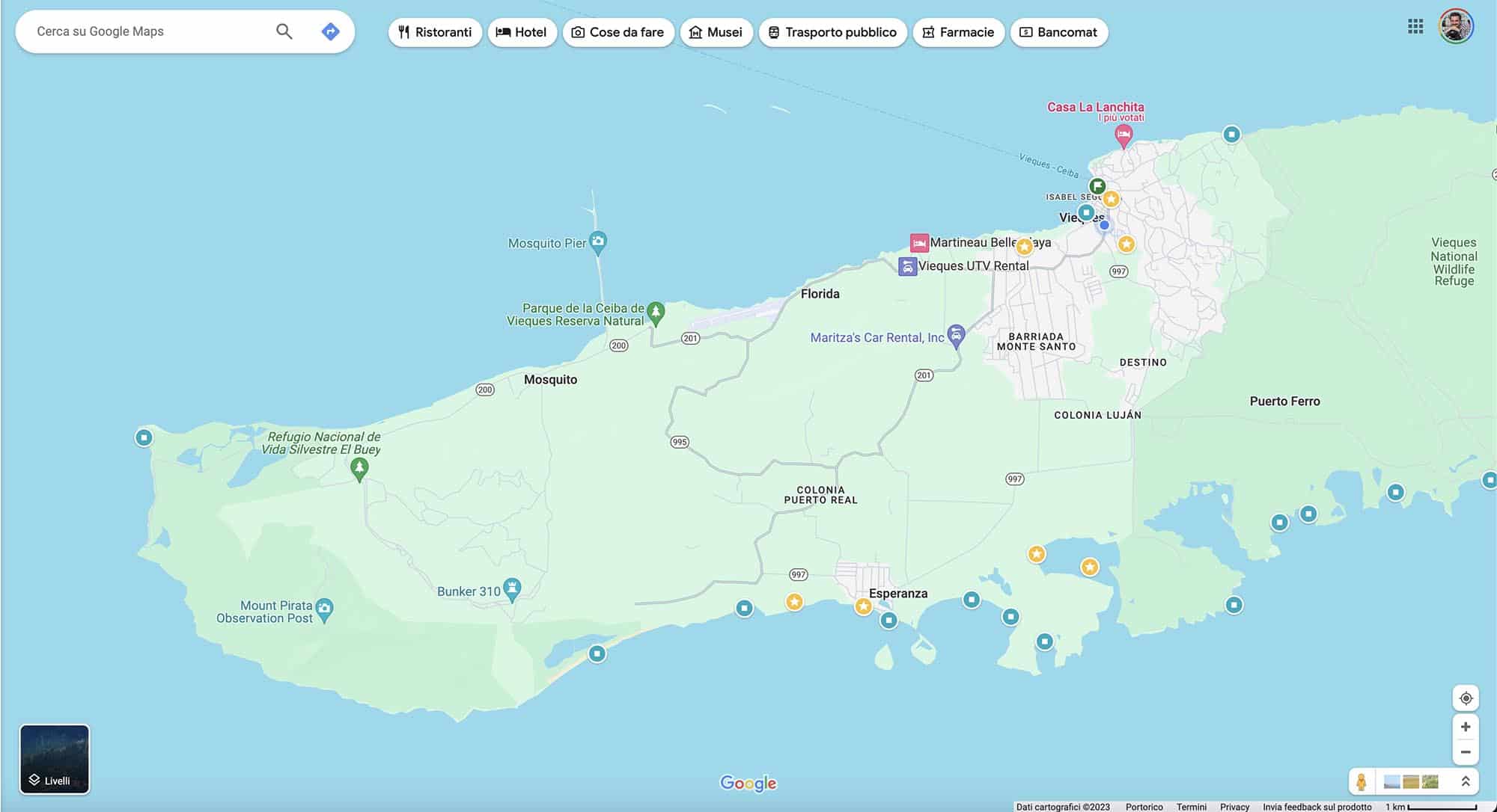 BEFORE
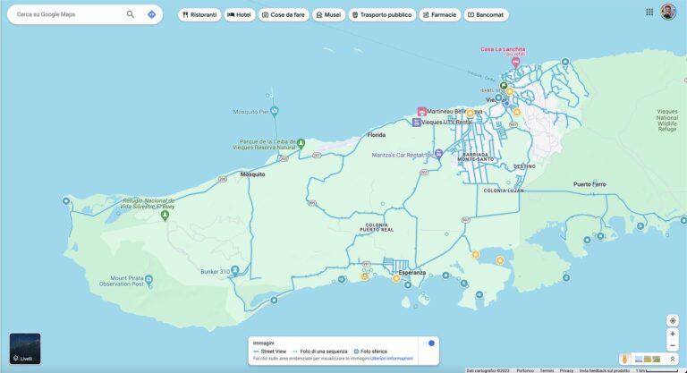 AFTER
AFTER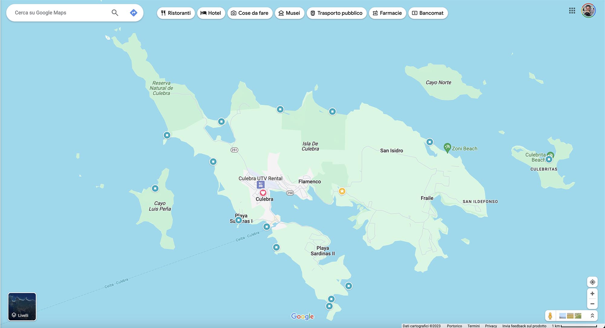
