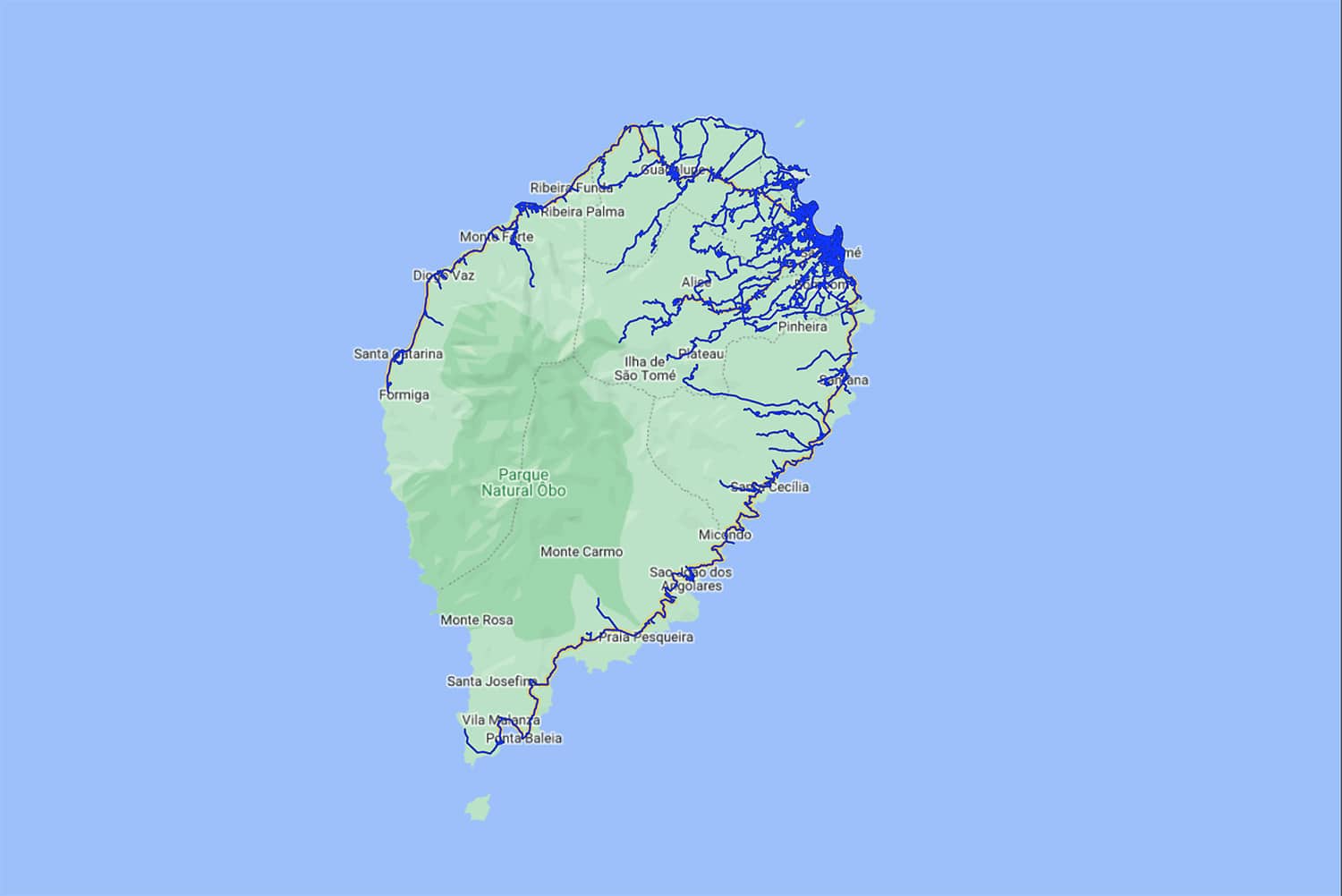
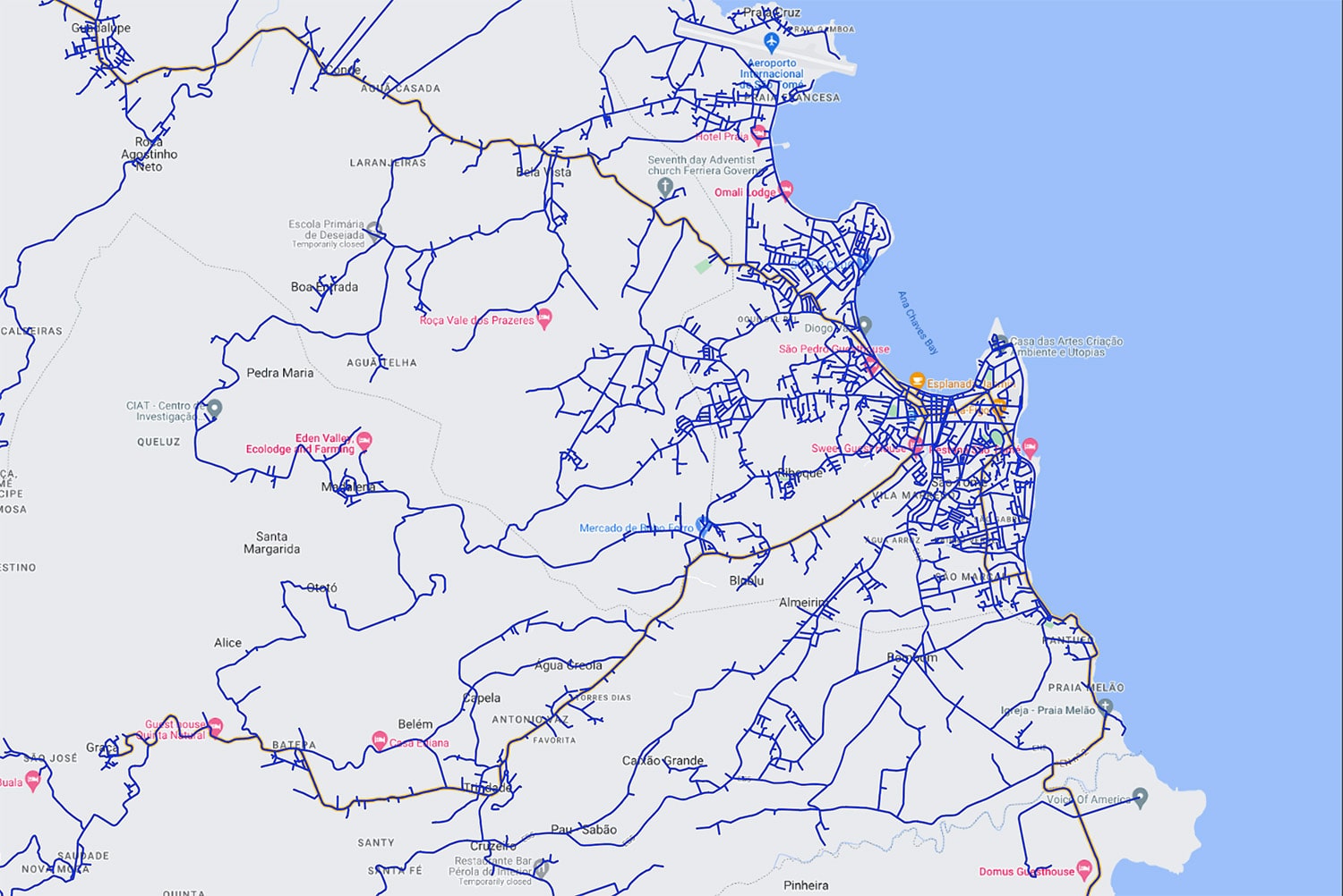
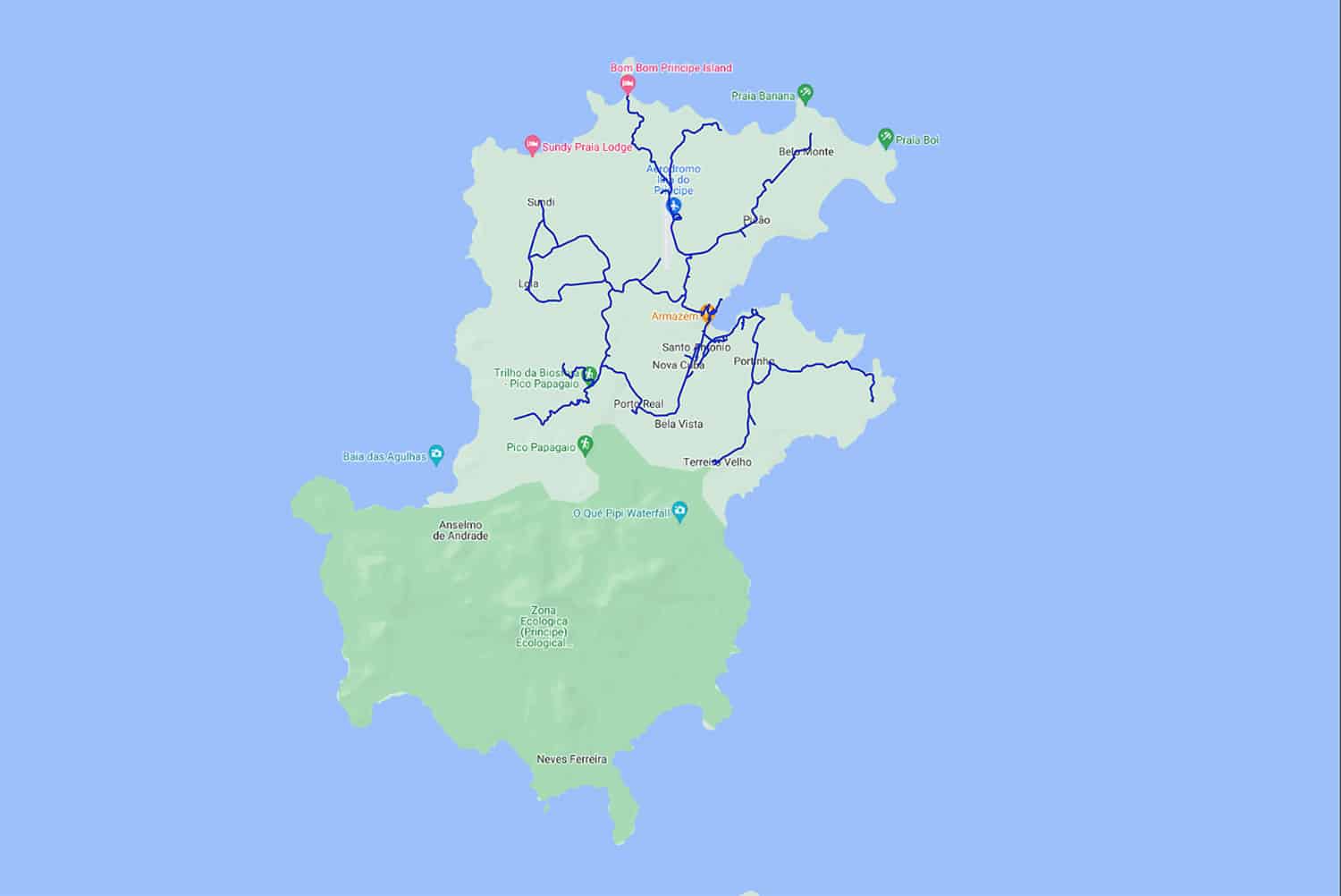
Commissioned by the Government of both islands, the mapping project brings a spotlight on the beauties of those tropical paradise thank to the realization of the Street View of every drivable roads.
In a place where the country GDP per capital is mostly based on the tourism, show all the country, the services, and overall the naturalist beauties, helps the islands to attract more potential customers.
How We Solve This Project
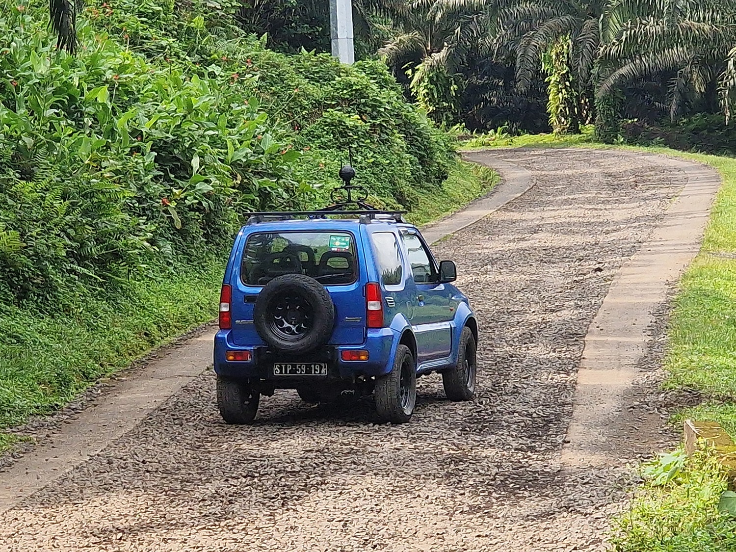
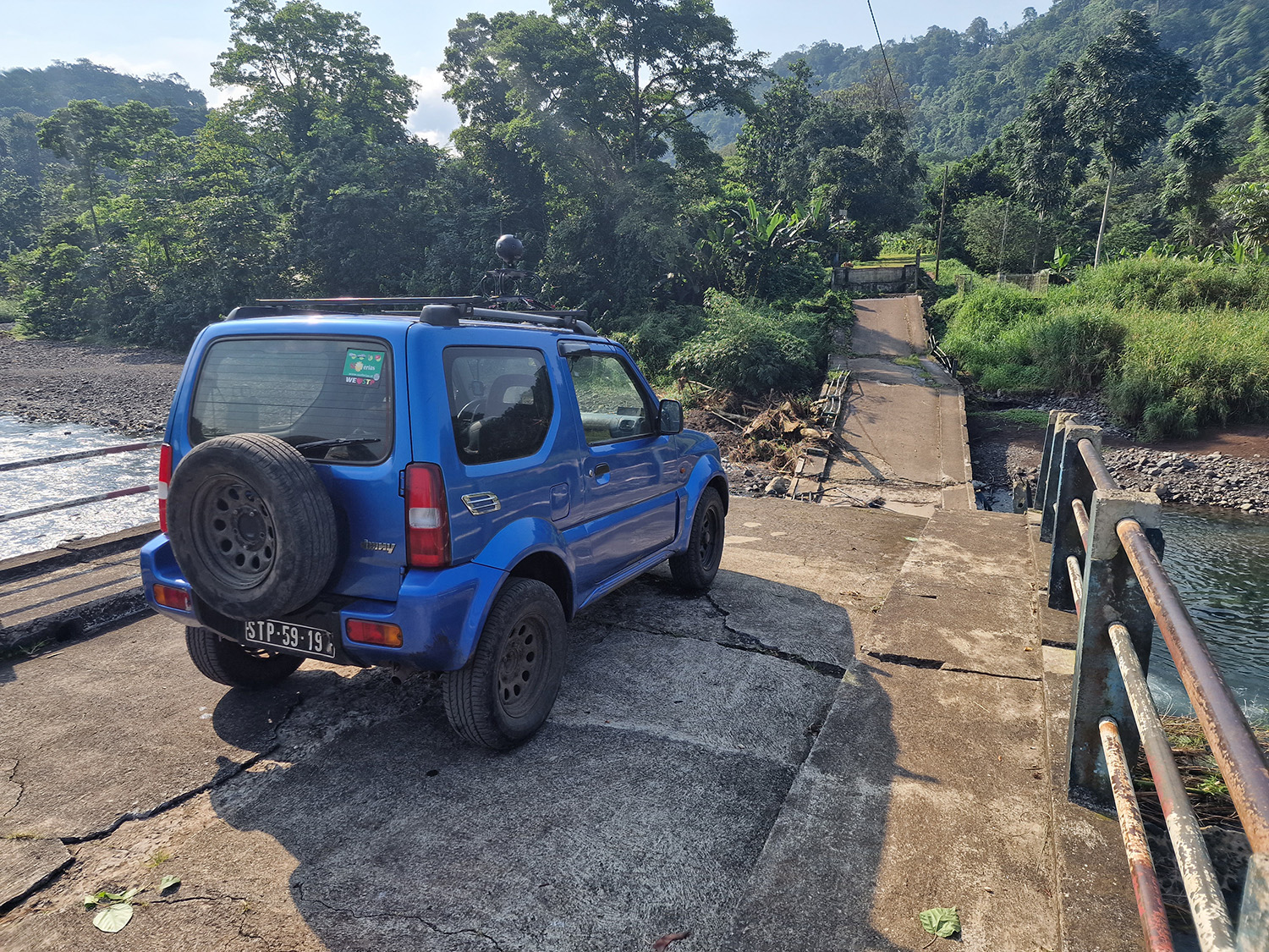
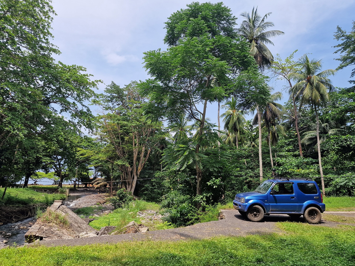
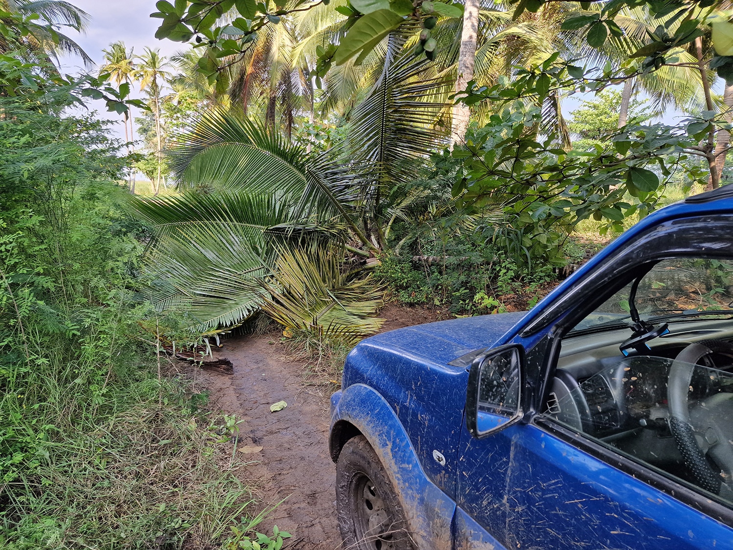
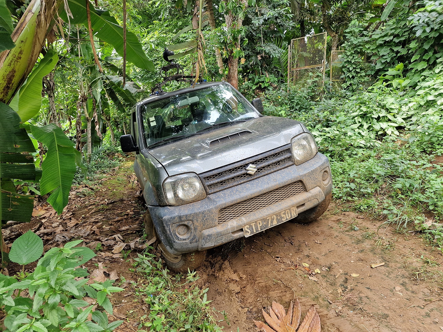
Mapping 2 different islands, one of which is very small, presents several challenges: Mainly, the community roads, mostly dirt, which then become muddy with the rain, needs to equip a 4 wheel drive car to easily get out of any difficult situation, but one of the problems is that in Principe, the smaller island, there was any avaibility of car to rent, so we decided to moved, for that capture, on the common vehicle of the island, a motorcycle!
The mix of both solutions, drived to archive a great result, visible on Google Maps!
Project keypoints
01
Planning
We studied the location and create an operative plant to propose to the government.
02
Gathering permits
Working close to the government we obtain all the necessary permits.
03
Roads captures
We physically drove and captured the roads.
04
Product Deliver
We uploaded and published the roads on Google Maps.
Goals and results
Here are some of the goals reached.
700 Km mapped with Street View 8k. technology.
Virtual tour of all the touristic attractions of the nation.


